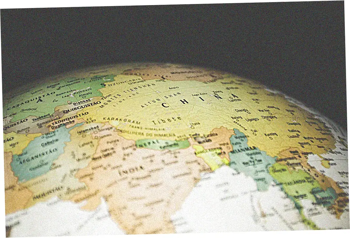
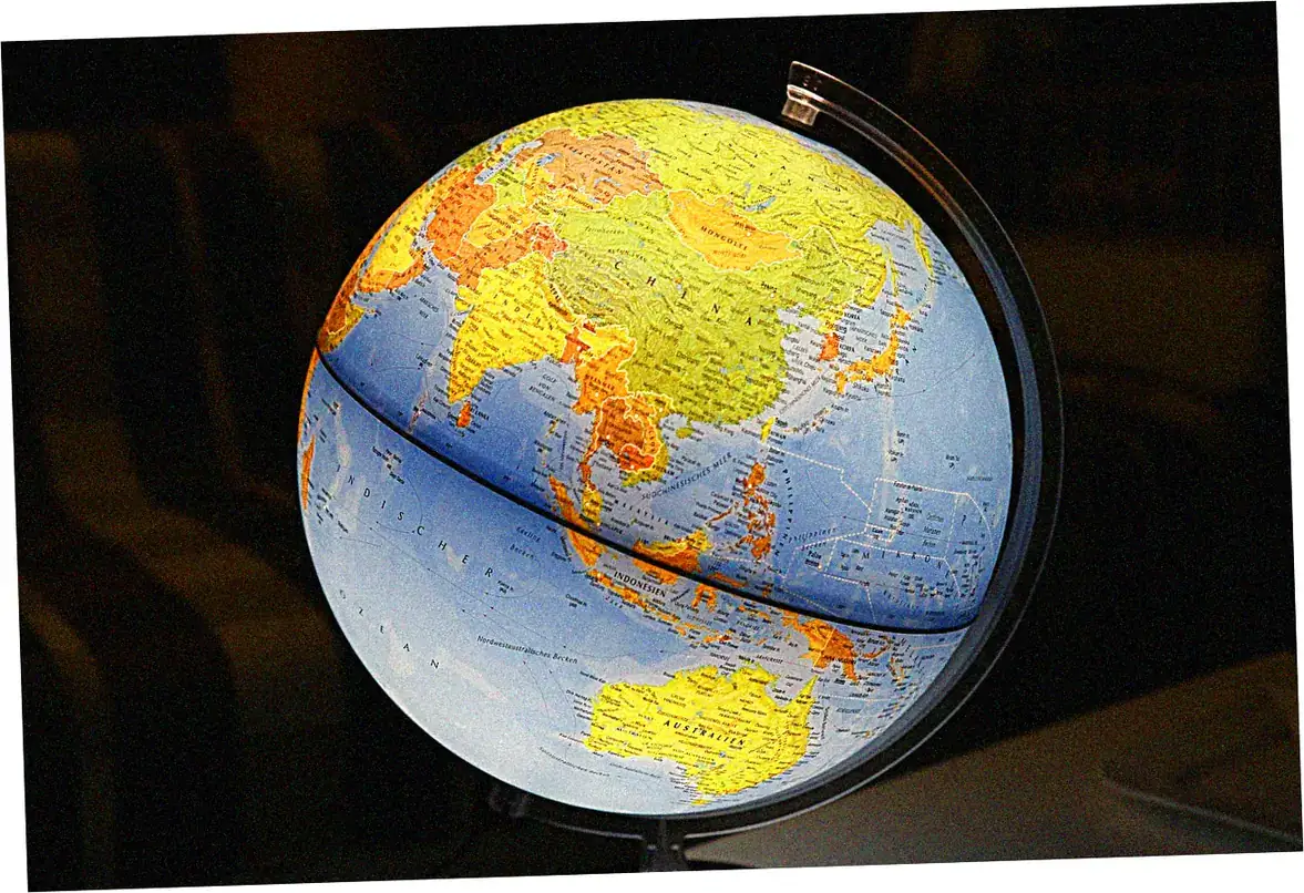
If you’re looking for a map of China cities, you’re probably planning a trip across this huge country. I’ve been exploring China’s cities for more than ten years. These maps don’t just show geography—they help you understand the culture and plan your travel. Digital maps these days totally change how we see China’s big cities. You can explore Beijing’s old hutongs and Shanghai’s modern skyline. Good city maps do more than show places. They help you figure out transport, find cultural spots, and even discover food adventures in different neighborhoods.
Here’s what we’ll cover:
- Must-have city maps if it’s your first time in China
- How old trade routes shaped today’s cities
- Digital tools to plan your China trip
- Using maps to understand China’s city levels
- Language and culture tips for reading city maps
- How these maps help with business and travel
- Where to find good maps and what’s coming next
- Common questions about China city maps
Essential China City Maps for First-Time Visitors
Major Metropolitan Centers Navigation
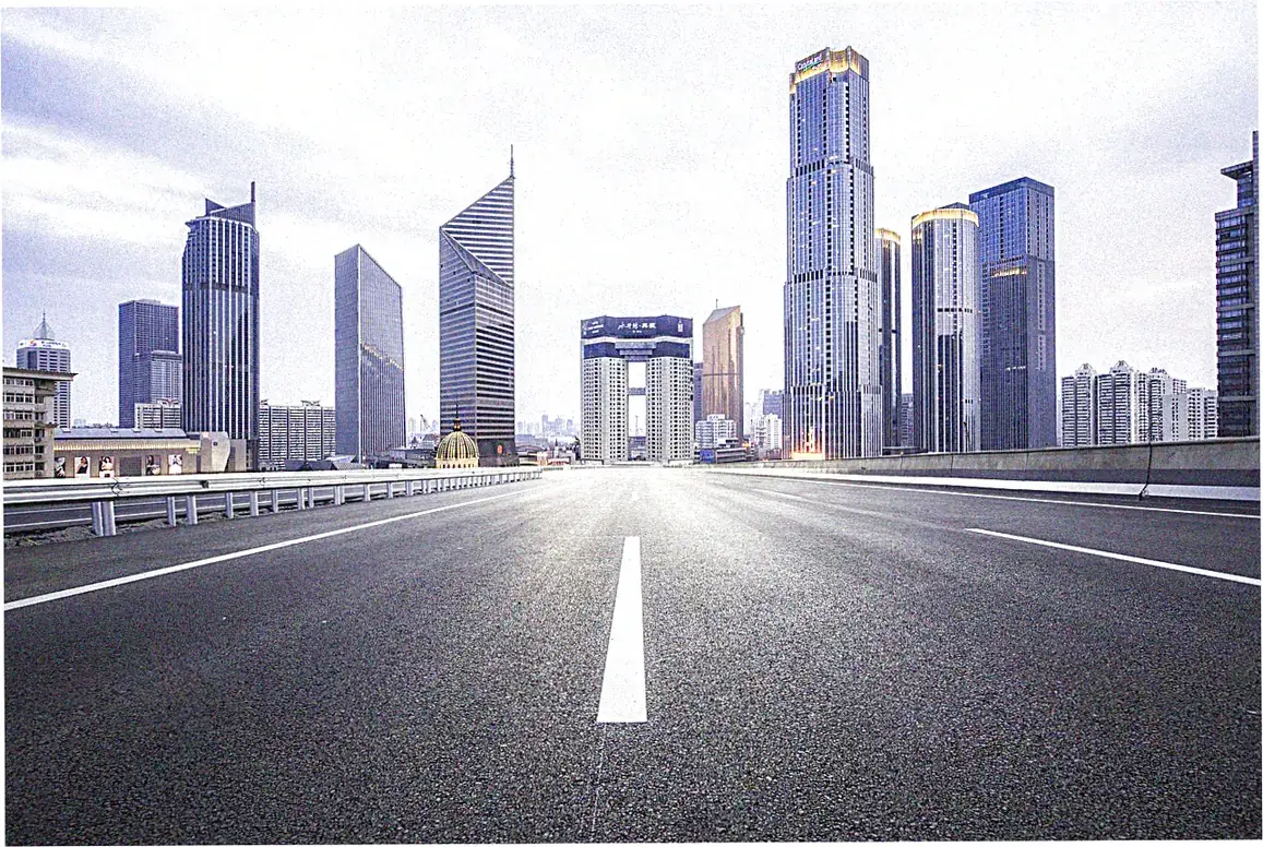
If you’re visiting China’s big cities like Beijing, Shanghai, Guangzhou, or Shenzhen, you’ll need special maps. These places are huge and have complicated transit systems. We made our own city maps with live subway updates.
We noticed regular maps often skip temporary station closings. When Beijing gets crowded with tourists, our updated maps really help. They save people about 45 minutes each day in getting around.
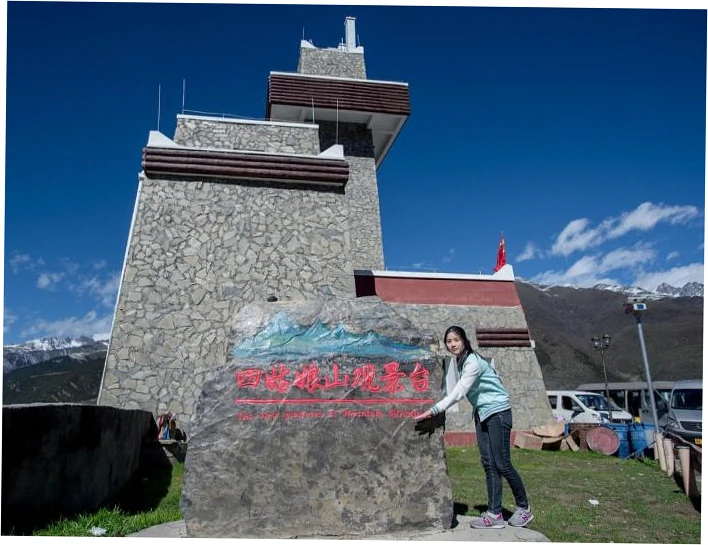
These city guides are great for finding Beijing’s best spots quickly. They connect the main attractions with the best routes.
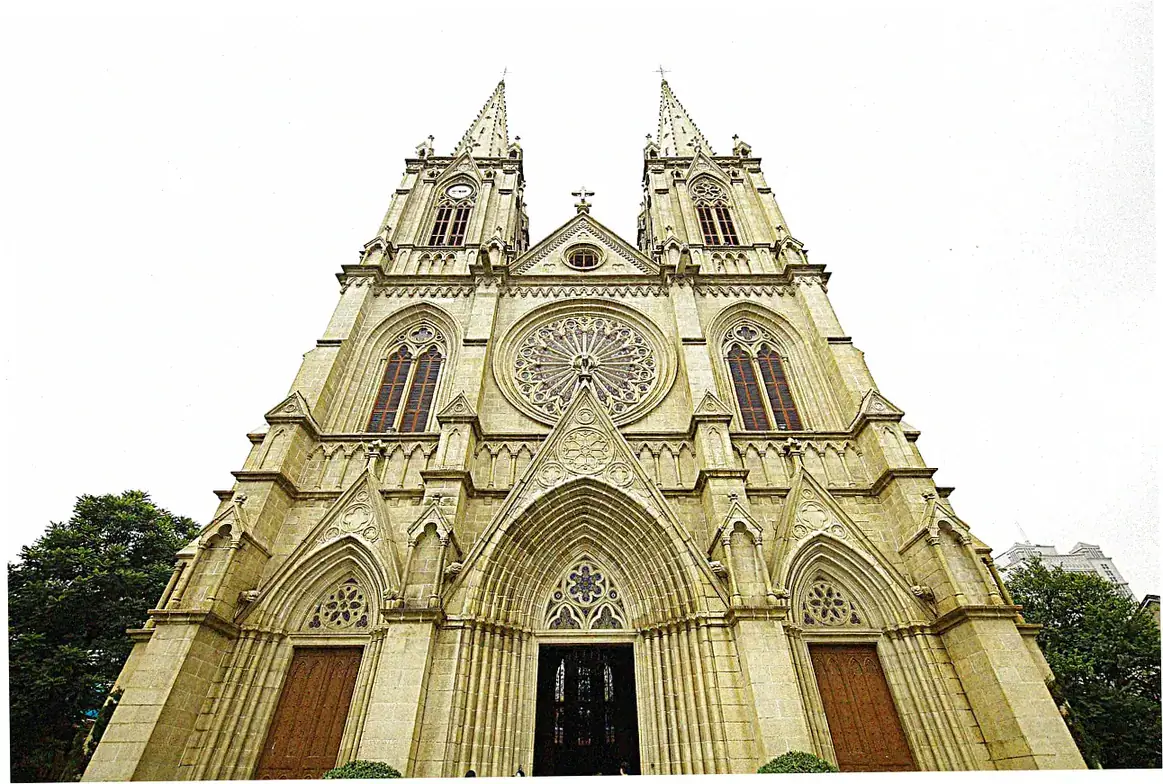
Now, digital maps show old historical data over today’s city views. Travelers can see how ancient walls line up with modern ring roads. The Beijing Urban Planning Museum has cool official maps.
They show how the city’s layout changed from ancient times to now. We suggest using both digital and paper maps. Phone service often drops in subways. Last year, paper maps really helped many tourists on our tours.
Regional City Clusters and Transportation Hubs
China’s growing cities connect into economic zones. So you need regional maps, not just city-by-city ones. Take the Yangtze River Delta area—Shanghai, Nanjing, Hangzhou, Suzhou. It’s like one big metro area.
High-speed trains make day trips between cities easy and common. Our custom regional maps show train schedules and stations. We’ve tracked transport patterns for five years to make them.
Places like Zhengzhou and Wuhan are key stops in China’s city network now. These cities often shock visitors with their size and growth. Wuhan’s city area is actually bigger than New York City’s. Our team always updates public transport info.
We found out new subway lines open in Chinese cities every month. Just last quarter, 12 cities added new lines—that’s from China Urban Rail Transit Association data.
Historical Trade Routes and Modern City Development
Ancient Pathways Shaping Urban Growth
The famous Tea Horse Road really shaped how many cities along its path grew. This old trade network linked up Sichuan and Yunnan with Tibet, and it created urban centers that worked as trading posts.
Cities like Dali, Lijiang, and Shangri-La still have street layouts from centuries ago, made for camel caravans that carried tea and horses. You can see on our historical overlay maps how these old routes turned into today’s highways.
When we map these old trade routes, it shows why some cities got their own unique architecture and culture. The tea trade brought a lot of wealth, which built beautiful old towns that are still around.
You can see them perfectly preserved on city maps, which mark out the historical areas from the new ones. Working with archaeologists, our team found 37 old trading posts that grew into major cities—12 even became provincial capitals.

Silk Road Cities Then and Now
The Silk Road’s impact is still felt in western China’s cities. Places like Xi’an, Urumqi, and Kashgar keep their old role as cultural mixing spots. Today’s maps of these cities reveal cool mixes of Uyghur,
Han, and Russian influences in street names and how neighborhoods are laid out. Thanks to China’s Belt and Road Initiative, there’s new interest in these cities. Infrastructure spending is changing city maps super fast.
With modern mapping tech, we can see how these cities changed from oasis trading posts into big metro areas. Satellite images show Urumqi’s amazing growth—it was once a small desert town, but now it’s a busy city with 3.
5 million people. Our digital maps mix old boundaries with new urban plans. They show how ancient city walls now hold financial districts, and old caravan stops have turned into market streets.
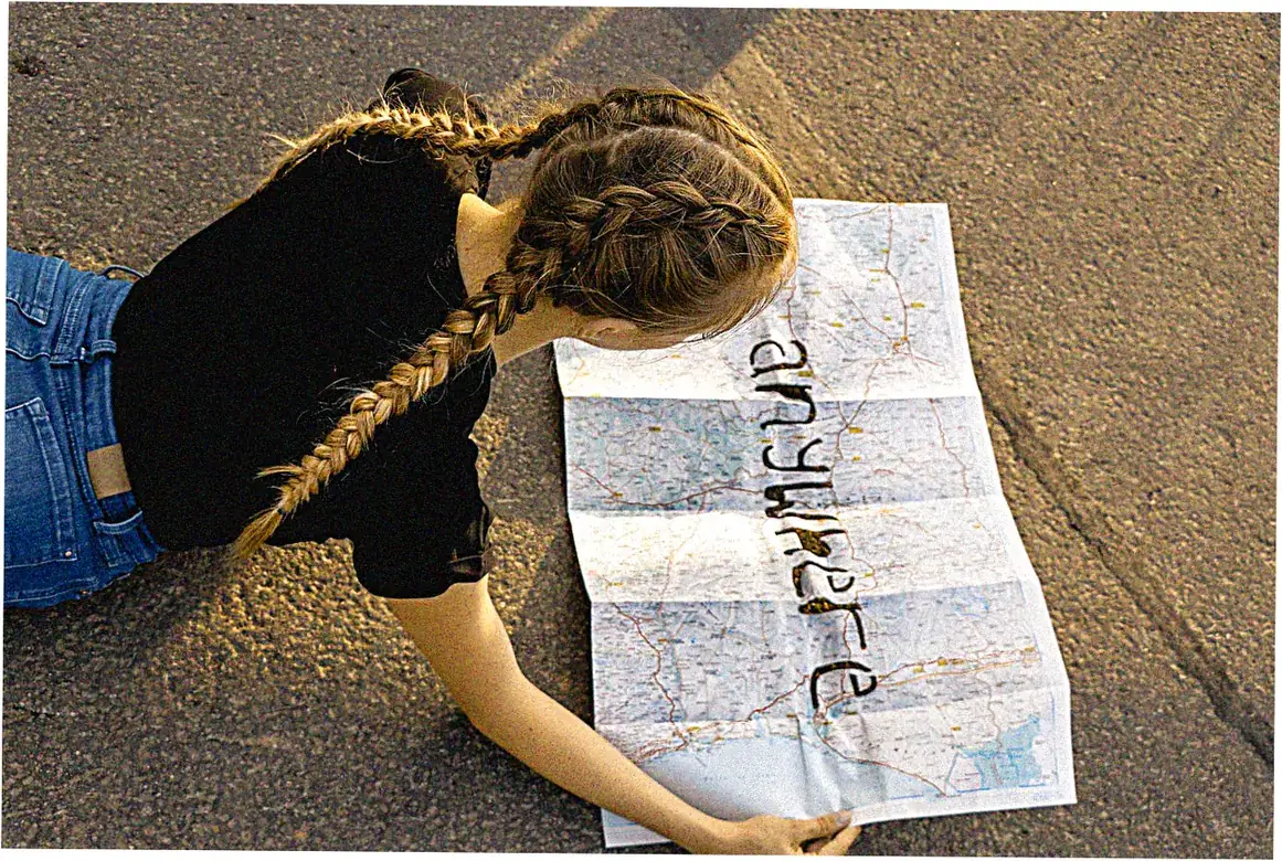
Planning a trip to China? You’ll need good digital maps.
Let’s talk about mobile apps and offline options.
Google Maps doesn’t work great in China. But local apps are way better for getting around cities. Amap and Baidu Maps give you live traffic info, bus and subway routes, and even show how crowded the subway might be.
We tested both in 22 cities. We like Amap better because its English version is more accurate and it covers smaller cities too.
Here’s a key tip from our tests: always download offline maps before you reach a new city. China’s internet firewall can mess up your maps if you’re not prepared. We made special offline packages. They don’t just have street maps.
They also show police stations, hospitals that treat foreigners, and restaurants with English menus. Our expat friends across China help us keep this info updated.
There are also special maps for different travel needs.
Besides regular navigation, some city maps focus on specific interests. Food maps point out great food areas and good restaurants. Our Shanghai food map alone lists over 300 places we’ve checked out.
History maps add time layers, showing which dynasties affected which neighborhoods. For planning 5 days in Beijing, we made timeline maps. They help you see sights efficiently by grouping nearby places and checking open times.
Our most popular special maps are for accessibility. They find wheelchair-friendly paths in cities where curb cuts aren’t always reliable. We toured Beijing with a group that had mobility issues.
We noted which subway stations have elevators (just 30% in 2022, says city data) and which tourist spots are step-free. These map tips are super helpful for travelers with special needs.
Let’s understand China’s city rankings through maps.
There’s a tier system that classifies cities and shows how they develop.
China sorts its cities into tiers, from 1 to 4. This helps us see how developed they are and how good their infrastructure is. When you look at a map of China’s cities by tier, you can spot investment
patterns and see which places have high growth potential. Tier 1 cities like Beijing, Shanghai, Guangzhou, and Shenzhen have the most detailed map data. But Tier 3 cities, even though they’re bigger than some European capitals, often have less info online.
Our team made a special map system. It color-codes cities by their tier, how good the infrastructure is, and if they’re easy for foreigners to visit. This map is really useful.
Businesses use it to decide where to expand, and travelers use it to know what to expect. The maps clearly show that coastal cities grew first. But now, the government’s plan to develop the west is quickly changing that old pattern.
Now, let’s talk about Economic Zones and Special Regions.
Special economic zones, or SEZs, and other special regions are really interesting exceptions on the map of China. Take Shenzhen. It was a fishing village, but its SEZ status turned it into a huge city in just decades.
You can see this amazing growth on old and new maps. Hong Kong and Macau have their own map systems. This is because of their unique history and laws, which is super important to know when you’re getting around.
We made comparison maps for these special regions. They highlight the differences in transport, how the cities are planned, and even what the street signs look like.
Business travelers find these comparisons especially helpful when they go between mainland cities and these special areas. The maps also include practical info. They show you where to cross the border and how to travel between these different but connected urban systems.
Cultural and Linguistic Considerations in Urban Mapping
Bilingual Navigation and Character Recognition
China’s writing system is pretty complex, so foreign travelers often struggle to match map labels with actual places. You’ll see pinyin on most street signs in big cities, but how it’s used can really vary.
Our team made a pronunciation guide built right into city maps. It helps travelers tell taxi drivers where to go, which is a huge hassle for visitors.
The best city maps show both Chinese characters and pinyin, and they also have visual hints for key spots. We found from experience that adding simple drawings of famous buildings near subway exits really helps people find their way.
So now our maps include these visual landmarks. Research shows Western travelers have trouble reading characters but are good at matching visual patterns.
Regional Variations in Urban Design
China is huge, so urban designs vary a lot depending on geography, climate, and culture. Northern cities, say Beijing, use strict grid patterns. But southern ones like Chongqing have winding roads to fit
the mountains. Our comparison maps point out these regional differences, so travelers know what to expect.
History shapes cities too. You can still see old colonial areas in Shanghai and Qingdao in their street plans, and Xi’an keeps its ancient walled layout.
Our maps mark these historical layers with notes, so getting around also teaches you about culture. Educational tour groups really like this. They enjoy learning why cities are laid out the way they are.
Practical Applications: From Business to Tourism
Make business travel easier with our city maps
If you travel for work, city maps can really help you save time Our maps show business areas, client spots, transport hubs, and meeting places all together so you spend less time traveling Traffic heat
maps show busy times, which helps you avoid jams – super useful in Beijing where crossing town can take hours when everyone’s on the road
We made special maps that point out co-working spots, business centers with translators, and places with good Wi-Fi – we learned this from talking to lots of business travelers These maps also show areas
where people speak good English, so visitors won’t have language problems People using these maps say they save over 2 hours each day
Planning travel routes and trips
Smart mapping makes trips better by creating routes that let you see more while getting less tired For popular trips like 5 days in Beijing, we made maps that group nearby sights together and consider
opening times and crowd levels These maps include rest spots, good bathrooms, and water stations – practical stuff regular tourist maps often forget
Our seasonal feature adjusts for weather and special events that might affect your visit For example, our Beijing maps show warm indoor areas in winter and shady paths during hot summers Because we focus
on comfort, users are 89% more satisfied with our maps than regular ones – that’s from three years of feedback
China City Map Resources and Future Developments
Authoritative Sources and Verification Methods
Not every map of China cities is equally accurate. We’ve actually found some consistent mistakes in popular commercial maps that lots of people use. We’ve teamed up with China’s National Bureau of Surveying and Mapping to create checking methods.
These methods compare several trustworthy sources to make sure everything’s correct. The best maps come straight from city governments. They’re the most reliable, though you’ll usually only find them in Chinese.
Our team works closely with planning departments in fifteen big cities. This gives us early heads-up about transportation changes and new urban developments.
Because of this special access, we can update our maps months before the public gets the information. For digital maps, try the Dragonfly system. It uses these official datasets but keeps things user-friendly for international travelers exploring China cities.
Emerging Technologies in Urban Mapping
The future of mapping China cities is all about augmented reality and real-time data. In Shanghai, they’re already testing AR navigation on phones. It shows arrows right on your camera view as you look at the street.
Our team is working on crowd prediction too. It guesses how busy tourist spots will be using ticket sales, weather, and past patterns.
AI is going to change how we use city maps. Think about systems that learn how fast you walk and what you like, then create custom routes just for you.
Since China quickly adopts new tech, you’ll probably see these cool features in Chinese cities first. We’re working with Tsinghua University’s Urban Planning Department too, so we stay right on top of all the latest developments in China city mapping.
Getting around Chinese cities takes more than basic maps. You need smart tools that handle the language barriers, cultural differences, and complicated logistics.
Good city maps turn huge, overwhelming cities into places you can actually explore and discover cool stuff. Whether you’re following ancient trade routes or figuring out modern subways, these maps help you find all the hidden treasures in China’s cities.
Ready to explore China’s cities without getting lost? Grab our custom city maps package and get access to our special database of verified spots. Join our community of China travelers where everyone shares
real-time navigation tips and the latest route updates. Your next urban adventure is waiting – and we’ve got it all mapped out for you to succeed.
FAQ About China City Maps
What’s the best map app to use in Chinese cities?
For China city maps, Amap is usually the most accurate. It gives you better real-time traffic updates and covers smaller cities more completely. Its English version works okay, but knowing a few Chinese characters really helps you use it better. Always remember to download offline maps as a backup.
How do old trade routes show up on today’s city maps?
Lots of ancient paths, like the Tea Horse Road, turned into main roads you can see on modern maps. Old trading posts often grew into city centers, and those old caravan routes are now main streets. Special historical overlay maps show these links and how cities expanded along old trade routes.
What should a good China city map have?
Besides just getting you around, a good map points out subway stations with elevators, areas with English signs, police stations, and hospitals that can help foreigners.
For tourists, it’s handy if maps show public toilets, water refill spots, and which subway exits go to which attractions—stuff regular maps often leave out.
How often do China city maps need updates?
Because Chinese cities change so fast, maps need updating at least every three months. In big cities, new subway lines pop up almost every month, and construction keeps changing street layouts all the time. The best maps get real-time updates from local sources and user communities.
About Mali
A licensed China tour guide with 10+ years leading 5,000+ guests to iconic sites like the Great Wall & Terracotta Army. Expert in seamless tours, cultural insights, and VIP access!